Wyoming · jade & agate
Wyoming jade and agate: who owns the ground
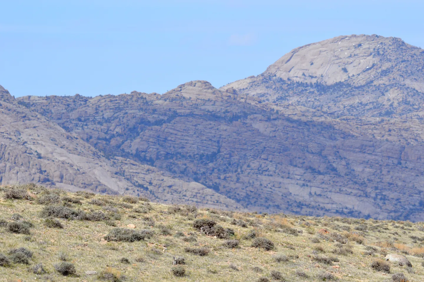
Jade is Wyoming's official gemstone. The Wyoming State Geological Survey (WSGS) says Wyoming jade is nephrite, that most of the high-quality jade found in Wyoming came from alluvial deposits in and around the Granite Mountains of central Wyoming, and that about 80 years of intense jade hunting has removed most of the easily observable loose jade. Occasional finds, mostly small pieces, are still made. Below are the areas WSGS names, and what to check before you pick anything up.
Jade
- Where WSGS points: the Eocene Ice Point Conglomerate southeast of Sweetwater Station once held fairly common boulders of apple-green, pink and black nephrite; the Crooks Gap Conglomerate held apple-green boulders, but not many.
- Land check: this is mixed BLM, state and private country with claims. BLM Wyoming's own example is a claim located for jade: on it you may collect anything except jade. Run MLRS for the section and read what the claim was located for. BLM Lander Field Office: 307-332-8400.
Sweetwater agate
- Where WSGS points: agate with manganese oxide dendrites in dark-blue to gray-blue chalcedony, found along the Sweetwater River and Sage Hen Creek, west and northeast of Jeffrey City.
- Land check: the river corridor is a mix of BLM, state and private land. In Wyoming the stream channel belongs to the landowner, so panning or digging a private stretch needs permission. DEQ lists the Sweetwater River as a Class 1 stream where hand panning is the only prospecting allowed.
Snail (Goniobasis) agate
- Where WSGS points: silicified snails in the Green River–Granger area north of I-80, along Delany Rim near Tipton, and in the Red Desert just south of I-80.
- Land check: mostly BLM, with state and private sections and energy leases. Snails are invertebrate fossils, so the BLM fossil limit (25 lb a day) applies along with the hobby-amount rule. Watch for wilderness study areas. BLM Rock Springs: 307-352-0256; Rawlins: 307-328-4200.
Petrified wood
- Where WSGS points: northeast of Farson (the “Blue Forest” wood, with blue chalcedony around silicified cores), along State Highway 130 between Saratoga and Walcott, an area 35 miles north of Medicine Bow, and the southern Absaroka Range.
- Land check: on BLM land, 25 lb plus one piece a day and 250 lb a year. About 56 percent of the Shoshone National Forest is wilderness; ask the forest (307-527-6241). On state sections, day use only.
Rainbow, Dryhead and youngite agate
WSGS lists Rainbow agate in the Wiggins Formation of the southern Absarokas and in Wind River gravels north of Riverton; Dryhead agate along the Bighorn River northeast of Lovell and in sediments from the Hartville uplift northeast of Guernsey; and youngite only from the Hartville uplift near Guernsey. Check each spot on an ownership layer: gravels near Riverton may be inside the Wind River Indian Reservation (tribal permission), land along the Bighorn River near Lovell may be inside Bighorn Canyon National Recreation Area (no collecting), and state park land is closed to removal. Verify.
Related: Wyoming BLM and jade claims · Mining claims vs. casual collecting · Paid digs vs. public land.
Sources: WSGS, Jade deposits; WSGS, Gemstones; WSGS Information Pamphlet 11 (2004); W.S. 8-3-109 and 8-3-112; BLM Wyoming, Rockhounding handout (rev. 2018); BLM, MLRS; Wyoming DEQ, Land Quality Division; 43 CFR 3622; 43 CFR 49; OSLI, Land and Lease Map Viewer; Wind River Tribal Fish and Game.
Informational only — not legal advice. Rules, boundaries and seasons change. Confirm with the managing agency for the exact parcel before you collect. Last verified November 9, 2026.