Wyoming · state hub
Wyoming rockhounding: who owns the ground
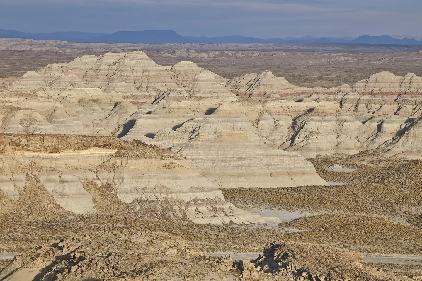
The BLM manages about 18.4 million surface acres in Wyoming and about 42.9 million acres of federal mineral estate. The state holds about 4.2 million acres of trust land granted at statehood. Mixed in are national forests and the Thunder Basin National Grassland, state parks and Game and Fish lands, Yellowstone, Grand Teton, Devils Tower and Fossil Butte, wildlife refuges, the Wind River Indian Reservation and private ranches. Jade is Wyoming's official gemstone (W.S. 8-3-109 and 8-3-112), and the Wyoming State Geological Survey says about 80 years of hunting has removed most of the easily found loose jade.
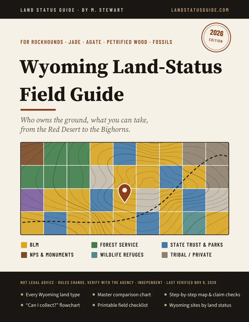
Wyoming land types at a glance
- BLM public land — yes, limited amounts. BLM Wyoming says you may take “limited amounts of rock material for noncommercial purposes without charge”: a personal hobby collection or home display, surface collection or nonpowered hand tools, negligible disturbance. Petrified wood: 25 lb plus one piece a day, 250 lb a year. Not on mining claims located for what you're after, and not in developed recreation sites. Wyoming BLM rules
- National forests — small amounts. Forest Service guidance says a reasonable amount is generally up to 10 pounds, for personal use. Common invertebrate and plant fossils: 25 lb a day and 100 lb a year. Wilderness and wild and scenic rivers can be closed or restricted. Ask the forest.
- State trust land — day use, surface only. The Board of Land Commissioners' Chapter 13 rules list “rock hunting” as a casual recreational day use on legally accessible state land. No camping, off-road driving or fires. Fossils belong to the state; only surface invertebrate fossils may be picked up, with no digging. No amount limit is published. State lands and parks
- State parks — no; Game and Fish lands — ask. Park rules prohibit removing rock, minerals, petrified wood or artifacts without the superintendent's permission. Game and Fish access areas are open for managed hunting and fishing; other uses need the landowner's permission. Details
- National parks and monuments — no. Yellowstone, Grand Teton, Devils Tower and Fossil Butte (36 CFR 2.1). Parks, monuments and refuges
- Refuges and Reclamation land — no. 50 CFR 27.61 and 43 CFR 423.29. Refuges
- Tribal and private land — permission only. On the Wind River Indian Reservation, the tribal permit sold to non-members covers fishing, camping, hiking, boating and picnicking in open areas, not collecting. Entering private land to collect resource data, including rock samples, without permission is a crime in Wyoming (W.S. 6-3-414).
Wyoming articles
Wyoming BLM rockhounding rules
BLM Wyoming's own words on hobby collecting, petrified wood and fossil limits, jade claims, WSAs and gold panning.
Photo: Bureau of Land Management, public domain, via Wikimedia Commons

Wyoming jade and agate: land status
The jade, Sweetwater agate, snail agate and petrified wood areas WSGS names, and the land checks each needs.
Photo: Jennifer Strickland, USFWS, public domain, via Wikimedia Commons

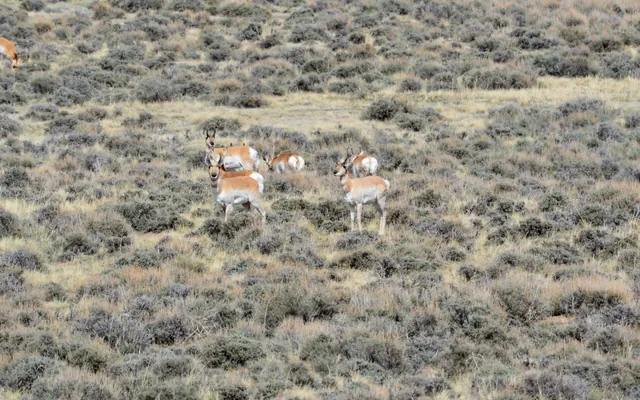
Wyoming state lands and parks
State trust land's “rock hunting” day use, state fossils, state parks and Game and Fish lands.
Photo: Jennifer Strickland, USFWS, public domain, via Wikimedia Commons

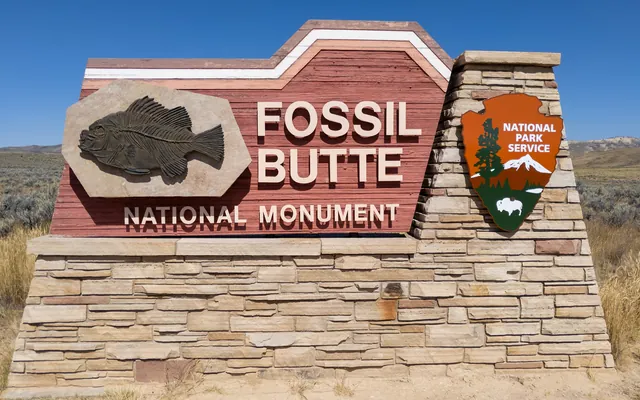
Wyoming parks, monuments, refuges
Yellowstone, Grand Teton, Devils Tower, Fossil Butte, refuges and Reclamation land.
Photo: Matthew Dillon, CC BY 2.0, via Wikimedia Commons

Places the agencies themselves list
- WSGS gem localities: Sweetwater agate along the Sweetwater River and Sage Hen Creek near Jeffrey City; jade around the Granite Mountains; snail agate in the Green River–Granger area; petrified wood northeast of Farson. WSGS describes geology, not who owns each spot. Details
- Red Gulch Dinosaur Tracksite (BLM Worland Field Office): Middle Jurassic tracks on a boardwalk. Look only. Details
- Fossil fish quarries near Kemmerer: the NPS says some commercial quarries on state and private land outside Fossil Butte National Monument allow digging for a fee. Any arrangement is with the operator.
Before any Wyoming trip
- Click the parcel on an official surface-management layer and write down township, range and section (usually the Sixth Principal Meridian).
- Check state sections on the OSLI, Land and Lease Map Viewer: legal access, leases and closures.
- Check overlays: wilderness, WSA, wild and scenic river, a campground or other developed site, a fire closure.
- Run MLRS for active claims and see what each claim was located for. Look for posts and notices.
- Weigh what you take and log it. Hand tools only. Nothing for sale. Leave every artifact and every bone.
Rockhound Kids: a 23-page printable coloring pack for ages 4–10, with obsidian, sunstone, geodes and desert critters of the West. $4.99.
Sources: BLM, What We Manage in Wyoming; BLM Wyoming, Rockhounding handout (rev. 2018); 43 CFR 8365.1-5; 43 CFR 3622; Forest Service, Collecting on National Forest System Lands; Forest Service, casual fossil collecting; OSLI, Frequently Asked Questions; Board of Land Commissioners rules, Chapter 13; Wyoming State Parks, Rules and Regulations; WGFD, collecting on Hunter Management Areas; 36 CFR 2.1; 50 CFR 27.61; Wind River Tribal Fish and Game; W.S. 6-3-303 and 6-3-414; W.S. 8-3-109 and 8-3-112; WSGS, Jade deposits; NPS, Fossil Butte FAQ. Details and more links on each article.
Other states: Utah · Nevada · Arizona · Oregon · Idaho.
Informational only — not legal advice. Rules, boundaries and seasons change. Confirm with the managing agency for the exact parcel before you collect. Last verified November 9, 2026.